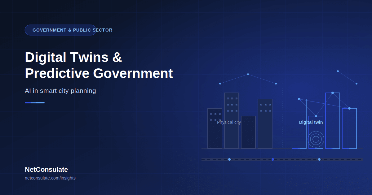
Digital Twins and Predictive Government: AI in Smart City Planning
What if planners could simulate the impact of a new highway before a single lane was paved? What if flood risk from a proposed development could be stress-tested against a once-in-a-century storm — in minutes rather than months? This is no longer a hypothetical for a growing number of city governments. It is what digital twin technology does today, and it is quietly becoming one of the more consequential applications of AI in government — not because it is flashy, but because it changes how public infrastructure decisions get made, from years of static master plans to continuously updated, simulation-tested ones.
This article explains what an urban digital twin actually is, what cities are doing with them right now, the real costs and constraints, and what governments evaluating this technology should understand before committing. Written for public-sector technology leaders, urban planning teams, and government technology decision-makers.
What an Urban Digital Twin Actually Is
A digital twin for urban planning is a real-time virtual model of a city or district that mirrors its physical environment — buildings, traffic, utilities, weather, and population — built from IoT sensor data, AI analytics, and 3D geographic and building information modelling. The defining difference from a conventional city model is that a digital twin stays synchronised with the real city as it operates, rather than representing a fixed snapshot frozen at the moment it was drawn.
The operating loop across working implementations follows a consistent pattern:
This is the structural shift that matters most: for over half a century, municipal engineers relied on static, paper-bound master plans that were frequently outdated before they cleared regulatory review. A digital twin replaces that fixed document with a live, data-synchronised model that reflects the city as it actually is today, not as it was surveyed years ago.
What's Already Deployed, Not Just Proposed
This is not an emerging concept still confined to research papers — cities from Singapore to Helsinki to Boston are running real-time virtual replicas of their infrastructure to make faster, more cost-effective decisions about growth, operations, and protection today.
Virtual Singapore remains the most complete reference implementation: a full-city digital twin used for planning, flood modelling, and energy optimisation, including automated solar-harvesting projections calculated across every rooftop in the city — a level of infrastructure-wide analysis that would be impractical to produce through manual survey. Flood and climate stress-testing is running in production in multiple cities: digital twins now predict which specific basements will flood during a once-in-a-century storm, letting planners target protective investment at the buildings actually at risk rather than applying blanket measures across a district. Underground infrastructure monitoring has moved from inspection schedules to continuous sensing: digital twins of subterranean pipe networks use acoustic sensors to detect microscopic leaks before they become catastrophic bursts, with simulated water flow and pressure data used to optimise pump scheduling — reducing both energy consumption and water loss simultaneously. Waste and fleet logistics now run on live optimisation rather than fixed routes: digital twins track smart-bin fill levels and real-time collection-fleet locations, with AI calculating the most fuel-efficient collection routes based on current traffic and actual bin capacity — a "just-in-time" model that reduces both operating cost and emissions. Generative layout optimisation is changing how planning proposals themselves get produced: rather than a single hand-drafted proposal, a digital twin can run millions of permutations of a development layout to identify optimal configurations — moving the planning process from months of manual drafting to hours of AI-assisted iteration, with the human planner curating and selecting from AI-generated options rather than producing every variant by hand. Emerging vertical transportation planning is a genuinely novel category this technology has enabled: as autonomous shuttles and early electric vertical-takeoff air mobility move from pilot toward deployment, digital twins simulate wind conditions between buildings and model the noise footprint of low-altitude flight paths — planning a three-dimensional transportation layer that had no real precedent to plan against manually.The Honest Cost and Maturity Picture
An honest account of this space needs the caveats alongside the capability:
Costs vary enormously by scope, and this is not a small commitment. District-level pilots can start at several hundred thousand dollars, while full-city deployments comparable to Singapore's have cost tens of millions of dollars across years of sustained development. This is genuinely large-scale infrastructure investment, not a software subscription — the return case rests on avoided infrastructure mistakes, optimised energy spending, faster permitting cycles, and improved climate resilience compounding over the deployment's operating life, not on a short-term payback. Digital twins remain evolving technology, not a universal instant solution, even in 2026. The most credible assessments are explicit that maturity varies substantially by use case — flood modelling and utility monitoring are comparatively mature and operating in production; fully integrated, city-wide real-time twins spanning every domain simultaneously remain rarer and harder to sustain than headline case studies suggest. Governance readiness is now recognised as a genuine prerequisite, not an afterthought. Recent analysis of urban AI deployment converges on the same conclusion: data interoperability, governance milestones, and public trust are prerequisites for scalable, accountable urban AI — not properties that emerge automatically once the technology is deployed. The practical recommendation gaining consensus is to pilot modular digital twin components that can genuinely scale — starting with a single high-impact corridor or service, such as transit optimisation or energy distribution — and build governance discipline into each pilot's lifecycle from the outset, rather than treating governance as something to design later once the technology proves itself. This deliberately avoids what's been termed "pilot drift" — technically successful demonstrations that never mature into sustained, accountable infrastructure because governance was never built into the plan.Why This Belongs in a Governance and Compliance Conversation
Digital twins used for public decision-making sit squarely inside the accountability obligations covered in our AI governance and human rights guides — a model influencing where infrastructure investment goes, which flood protections get funded, or how emergency resources are allocated is making decisions with real distributional consequences for residents, and the same principles apply directly:
- Impact assessment during design, not after deployment — understanding who is affected by a twin's recommendations before they shape real budget and infrastructure decisions
- Meaningful human oversight — a planner reviewing and deciding, not a dashboard number that becomes policy by default
- Transparency proportionate to stakes — residents affected by an infrastructure decision informed by a digital twin have a legitimate interest in understanding the basis for it
- Data governance for the underlying sensor and demographic data feeding the twin, particularly where it includes information about specific neighbourhoods or populations
What Government Technology Leaders Should Actually Do
Start modular and high-impact, not comprehensive. The evidence strongly favours starting with one domain — flood risk modelling, traffic and transit optimisation, or utility leak detection — proving governance discipline and measurable value there, before expanding scope. A full-city twin attempted as a single initial project carries both cost risk and governance risk that a modular approach avoids. Treat data interoperability as the actual foundation. The unglamorous work — getting GIS, BIM, IoT sensor feeds, and existing municipal data systems to talk to each other reliably — determines whether a digital twin initiative succeeds far more than the AI and visualisation layer on top of it. Underinvesting here is the most common cause of stalled pilots. Build governance milestones into the pilot itself, not as a follow-up phase. Public accountability, data protection review, and impact assessment should be checkpoints within the pilot's own timeline — not a compliance exercise scheduled after the technology has already proven itself and momentum makes governance harder to insert. Budget realistically against the actual cost range. A meaningful district-level pilot demonstrating real value is achievable in the hundreds-of-thousands range, not the tens of millions a full Singapore-scale twin required — scope the initial commitment to match the actual pilot ambition, not the eventual full-city vision.A Readiness Checklist
- Highest-impact single domain identified for an initial pilot (flood risk, traffic, energy, or utility monitoring)
- Existing data sources inventoried — IoT sensors, GIS, BIM, municipal systems — and interoperability gaps assessed
- Governance and impact-assessment milestones built into the pilot plan itself, not deferred
- Realistic cost range established against comparable district-level deployments, not full-city case studies
- A clear path from successful pilot to sustained operations defined upfront, to avoid stalling after initial demonstration
- Public transparency and residents' access to the basis for twin-informed decisions considered from the start
Conclusion
Urban digital twins represent one of the more substantive applications of AI in government today — not a speculative future capability, but infrastructure already running in cities from Singapore to Helsinki to Boston, predicting floods before they happen, catching pipe leaks before they burst, and letting planners test infrastructure decisions in simulation before committing real budget. The technology is genuinely capable and the costs are genuinely real, and the governments getting durable value from it are the ones treating governance and data interoperability as foundational work, not afterthoughts layered on once a pilot proves the concept.
If your organisation is planning a digital twin or predictive infrastructure initiative, NetConsulate builds the data integration, simulation, and governance infrastructure that turns a promising pilot into sustained, accountable public infrastructure.
Planning a digital twin or predictive infrastructure initiative? Submit a proposal request and our team will respond with a tailored approach within 2 business days.